
Dealer in Rare and First-Edition Books: Western Americana; Mystery, Detective, and Espionage Fiction
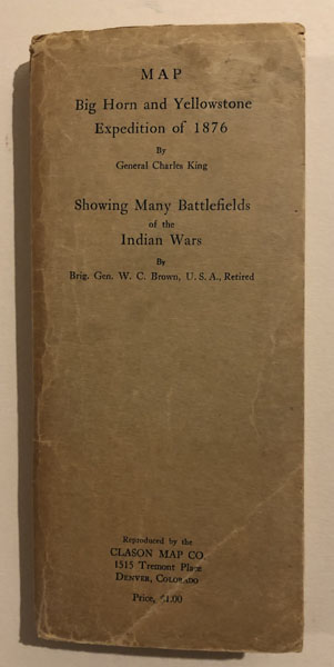


Big Horn And Yellowstone Expedition Of 1876
GENERAL CHARLES AND BRIG GEN W.C. BROWN KING
Other works by GENERAL CHARLES AND BRIG GEN W.C. BROWN KINGPublication: Clason Map Company, Circa 1946, Denver
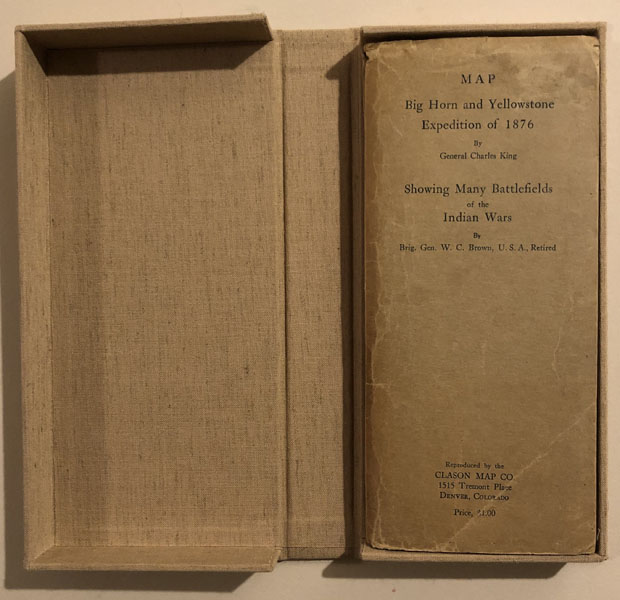
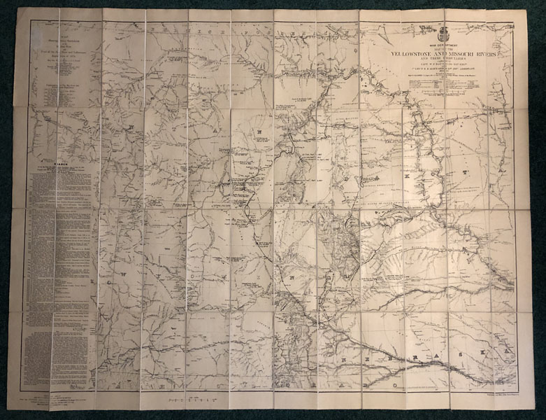
First edition. Large folding map, rebacked in linen. Map is housed in original 4" x 8 3/4" printed folder. Map folds out to an approximate size of 42" x 36." The map was originally produced by the War Department in 1876 and is entitled: "MAP OF THE YELLOWSTONE AND MISSOURI RIVERS AND THEIR TRIBUTERIES. Explored by Capt. W. F. Raynolds, Top. Eng. and !st Lieut. H. E. Maynadier, 10th Inf. Assistant. 1859-60." It details the region of the Yellowstone and Missouri Rivers and their tributaries. The map was revised and enlarged by Major G. L. Gillespie, U.S. Engineers and Brevet Lt. Col. U.S.A. Engineers, Military Division of the Missouri, 1876. This map is produced to accommodate the input of General Charles King and Brigadier General W. C. Brown, as they have identified every significant trail used and the site of every incident, clash, or battle fought against hostile Indians during the Indian Wars of this region. As such, this issue is entitled: "MAP SHOWING MANY BATTLEFIELDS OF THE INDIAN WARS AND TRAIL OF THE BIG HORN AND YELLOWSTONE EXPEDITION OF 1876, by Brig. Gen. W. C. Brown, U.S.A., Retired and General Charles King." William Carey Brown [1854-1939] graduated from West Point and was commissioned in the 2nd Cavalry in 1877 and served in the military through 1927. From his Denver home he then engaged in research on Indian war matters. In 1933 he and Robert S. Ellison succeeded in purchasing the Walter Camp papers from Mrs. Camp of the court of inquiry in the case of Major Marcus A. Reno concerning his conduct at the battle of the Little Big Horn River in 1876. Charles King [1844-1933] graduated from West Point in 1866 and served in the military through 1879, when he left active military service for disability from a wound received in battles with hostile Apaches in 1874. His most famous book of frontier interest is CAMPAIGNING WITH CROOK, published in 1880 and later reissued, somewhat modified in 1890 by Harpers. Information and comments by both generals are printed along left side of map. Those by General Brown include a comment referencing "70 years ago," accordingly we estimate this map to have been produced approximately 1946. The map is a choice item and is in near fine condition, housed in a printed folder that has light edge wear, and further protected in a custom clamshell box. $1500.00
Inventory Number: 53357$None


![The Surrender And Death Of Crazy Horse. HARDORFF, RICHARD G. [EDITOR].](/media/images/thumb/52839.jpg)
![Reports Of The Naval Engagements On The Mississippi River, Resulting In The Capture Of Forts Jackson And St. Philip And The City Of New Orleans, And The Destruction Of The Rebel Naval Flotilla WELLES, GIDEON [SECRETARY OF THE NAVY]](/media/images/thumb/45043.jpg)

