Dealer in Rare and First-Edition Books: Western Americana; Mystery, Detective, and Espionage Fiction
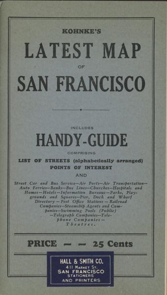
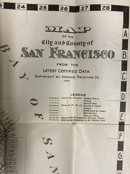
Kohnke's Latest Map Of San Francisco
KOHNKE PRINTING COMPANY
Other works by KOHNKE PRINTING COMPANYPublication: Kohnke Printing Company, 1936, San Francisco
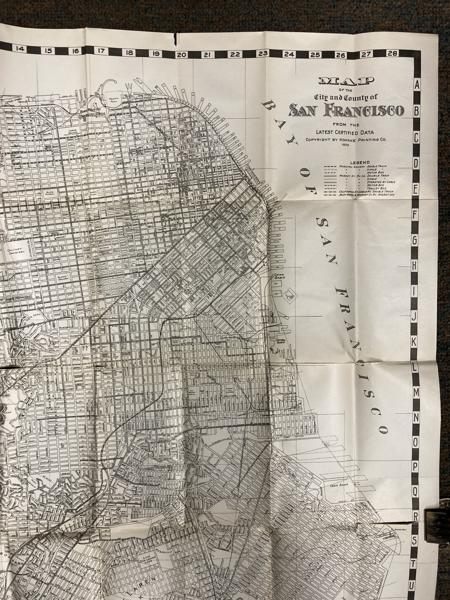
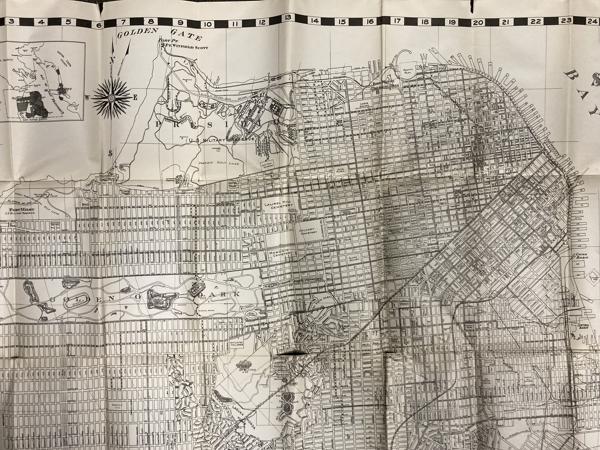
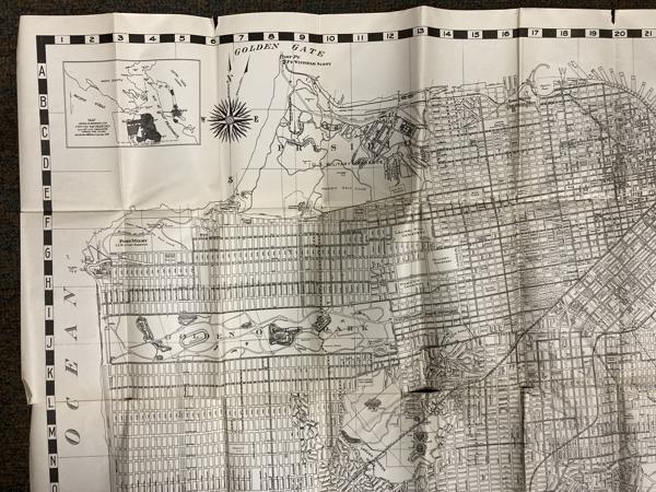
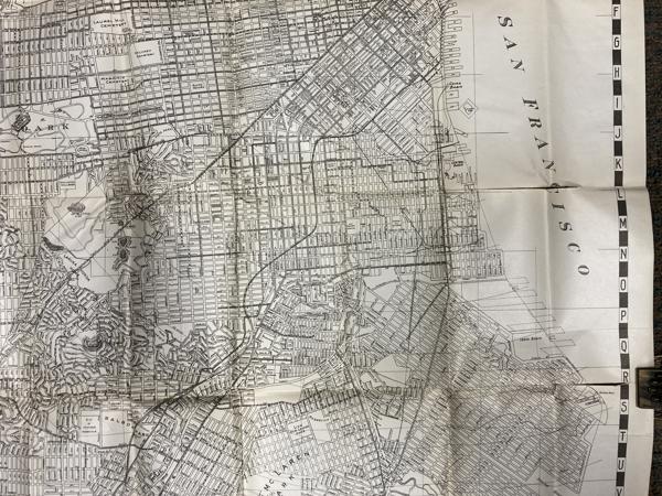
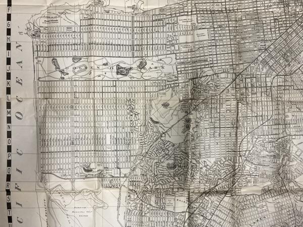
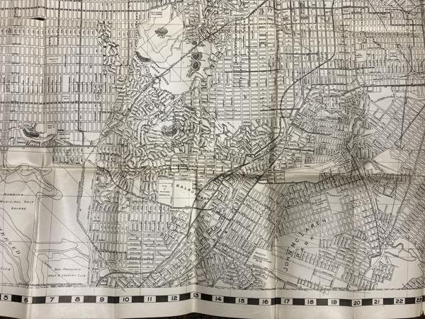
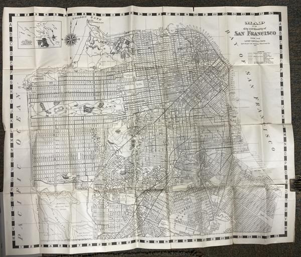
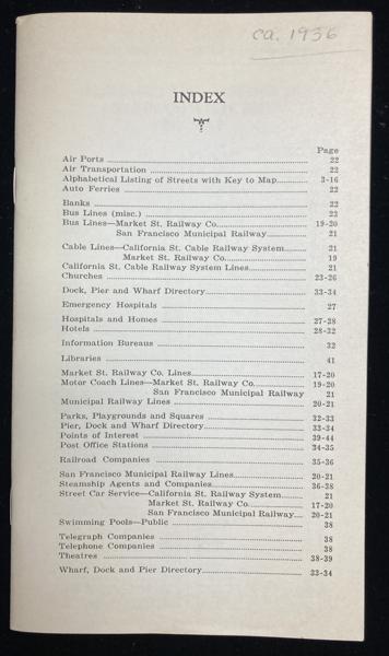
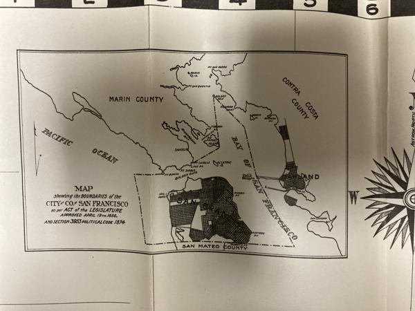
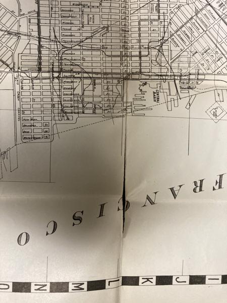
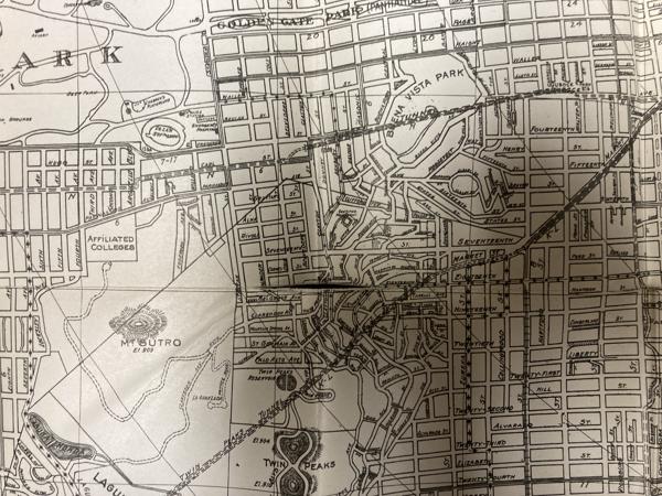
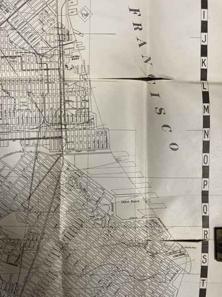
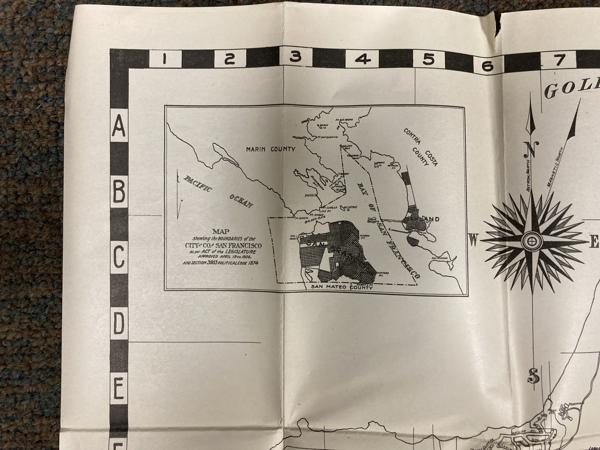
First edition. 7 1/8" x 4 1/8" stiff printed wrappers, 44 pp. plus 4 pp. for memorandum, map, index. Includes a handy guide comprising list of streets (alphabetically arranged), points of interest and street car and bus service, airports, air transportation, auto ferries, banks, bus lines, churches, hospitals, etc., etc. Also included is a 26 1/2" x 32" map titled "Map of the City and County of San Francisco." The map is a black-and-white print, detailed with various city planning elements. It includes streets, city blocks, municipal railways, bus lines, public buildings, landmarks, and parks. Inset map showing boundaries of the city and county of San Francisco.
Folder is in fine condition but the handy guide while in fine condition has detached from the staples. The map has splits at 3 folds as well as two l" splits at top edge of map. Overall a very good copy.
Inventory Number: 54194$150.00
Related Books