Dealer in Rare and First-Edition Books: Western Americana; Mystery, Detective, and Espionage Fiction
Joint Report Upon The Survey And Demarcation Of The Boundary Between The United States And Canada From The Northwesternmost Point Of Lake Of The Woods To Lake Superior
U. S. GOVERNMENT PUBLISHING OFFICE]
Other works by U. S. GOVERNMENT PUBLISHING OFFICE]Publication: Government Publishing Office, 1931, Washington
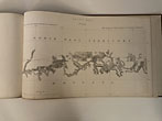
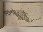
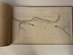
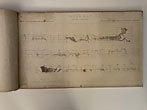
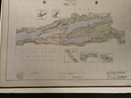
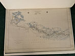
4to, pp. xiv, 621, [1]; photo-reproductive text illustrations throughout, three folding maps; full green cloth gilt; ex-US Airforce Library with call number on spine, stamping on title page, and pockets on endpapers, upper joint cracked, very good. Together with: Joint maps of the international boundary between United States and Canada from the Northwesternmost point of Lake of the Woods to Lake Superior. To accompany the commissioners' joint report dated October 27, 1931... Elephant folio, 38" x 27", title leaf and 37 color maps, (one key map and 36 sections); edges neatly reinforced with tape, small closed tear on one map repaired and not touching image, date stamp on first plate, fine in full green cloth. Together with: Joint maps of the international boundary between United States and Canada from the Gulf of Georgia to the Northwesternmost point of the Lake of the Woods. To accompany the commissioners' joint report dated October 27, 1937. Oblong folio, 51½" x 31½", title leaf and 61 plates (key map, elevation survey, and 59 sectional color maps); edges neatly reinforced with tape, red "reference department" stamp in corners and versos of each map, with reference numbers in pencil, very good in full green cloth. This two-phase survey mapped out the boundary between Canada and the United States, specifically in the complicated lake country of northern Minnesota. It was conducted after a treaty in 1925 made some adjustments to those boundaries, including moving the "northwesternmost point" south so that it could avoid cutting through a number of small enclaves. The report for the boundary between the Gulf of Georgia and the Lake of the Woods is not included here.
Inventory Number: 48039
![Joint Report Upon The Survey And Demarcation Of The Boundary Between The United States And Canada From The Northwesternmost Point Of Lake Of The Woods To Lake Superior U. S. GOVERNMENT PUBLISHING OFFICE]](/media/images/large/48039.jpg)


