Dealer in Rare and First-Edition Books: Western Americana; Mystery, Detective, and Espionage Fiction
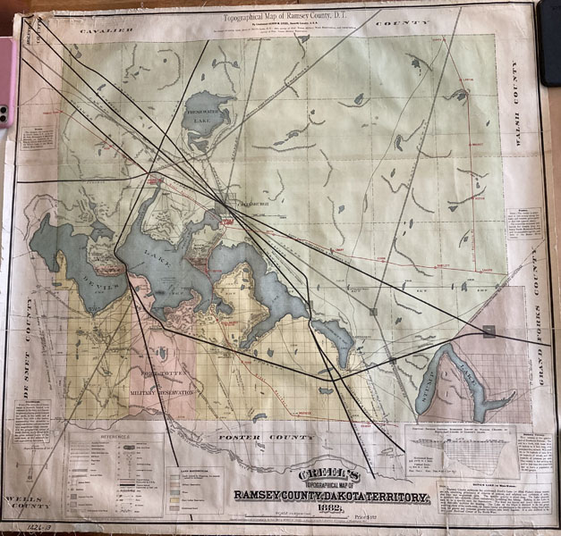
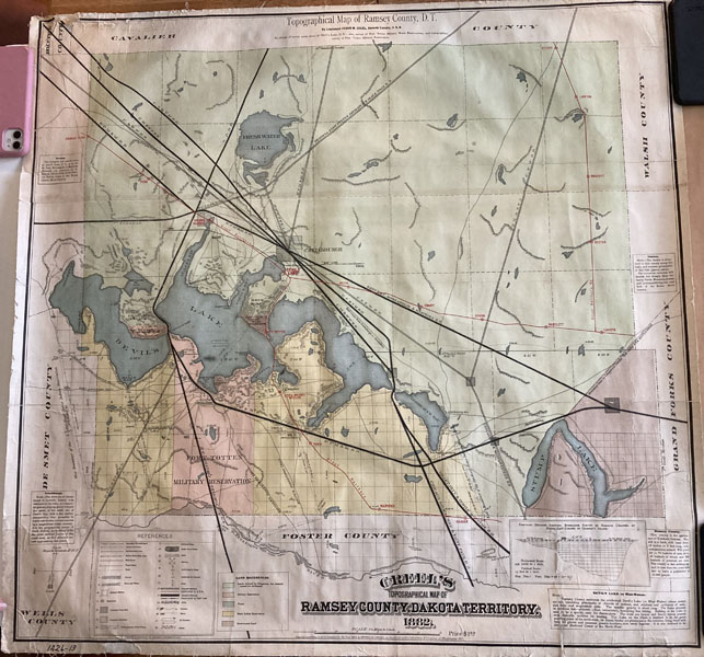
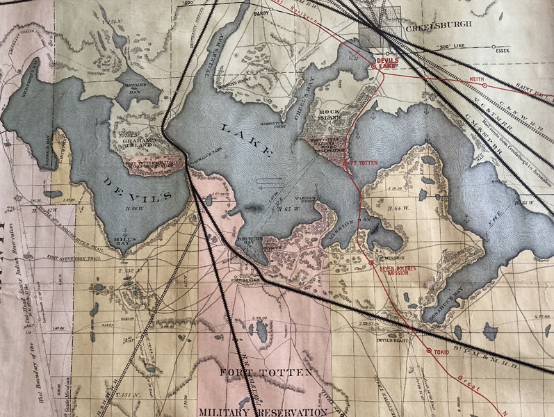
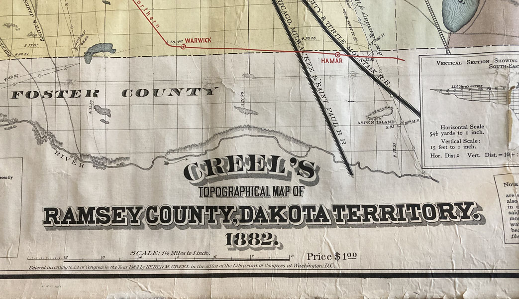
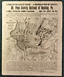
Creel's Topographical Map Of Ramsey County, Dakota Territory.
HEBER CREEL
Other works by HEBER CREELPublication: Cincinnati Lithographic Company, 1882, Cincinnati
First Edition. Large Color Map. 33" x 32." Scale 1.5 miles to 1." Sub-Title: Topographical Map of Ramsey County, D.T., by Lt. Heber M. Creel, Seventh Calvary, U.S.A.. In charge of survey of Devils Lake, D.T., also survey of Fort Totten Military Wood Reservations, and topographical survey of Fort Totten Military Reservation. An important and attractive map generated primarily as a promotional to attract settlement to the area, and more specifically to the town of Creelsburg (Creel City), Dakota Territory. As classic speculation, Heber Creel and his fellow speculators, sometimes called the Creel City syndicate, wanted to attract settlement to Creel City as a result of the Saint Paul, Minneapolis & Manitoba Rail Road having reached near-by Bartlett, in Ramsey County. Interestingly, the State Historical Society of North Dakota recently published a feature article in it's magazine, North Dakota History that not only prominently featured this same map, but described the 1883 murder of the Ward brothers, determined to be "claim jumpers" by the Citizen' Protective Association, a vigilante group said to be comprised of Creel and several fellow speculators. This important map has been rebacked in linen to preserve it's bright, attractive, and Very Good-Near Fine condition. A very tiny amount of loss in some spots along horizontal folds at bottom portion of map.
Inventory Number: 49455$750.00