Dealer in Rare and First-Edition Books: Western Americana; Mystery, Detective, and Espionage Fiction
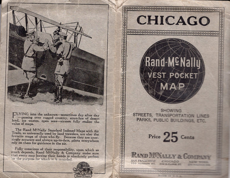
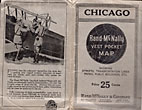
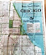
Chicago. Rand-Mcnally Vest Pocket Map Showing Streets, Transportation Lines, Parks, Public Buildings, Etc
RAND-MCNALLY & COMPANY
Other works by RAND-MCNALLY & COMPANYPublication: Rand-McNally & Company, n d (ca 1917), Chicago
First edition thus. 6 1/4" x 4" printed stiff wrappers, contains a full-color map, that opens to 30" x 30". Map folds into printed card covers. On the back cover is an advertisement for Rand-McNally Indexed Maps with Air Trails, with two military officers briefing a pilot in his bi-wing plane. An early promotion for the value of maps even while flying an airplane. Very good.
Inventory Number: 44088Sold -- Contact us