Dealer in Rare and First-Edition Books: Western Americana; Mystery, Detective, and Espionage Fiction
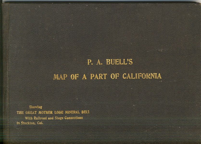
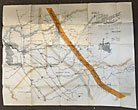
Buell's Map Of A Part Of California Showing The Great Mother Lode Mineral Belt With Railroad And Stage Connections To Stockton, Cal
P. A BUELL
Other works by P. A BUELLPublication: Compiled and Published by P A Buell, 1898, Stockton
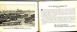
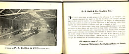
First edition. Oblong 4 15/16" x 6 3/4" black cloth, titles stamped in gold gilt on the front cover, n. p. (18 pp.), illustrated from photographs with verso of title page showing an image of Buell's business office in Stockton, California, and five photographic images of Buell's operation, one facsimile testimonial letter, and three charts and graphs. A 21 5/8" x 27 3/4" folding color map is tipped-in at the rear. Buell's firm was founded in 1883, and in 1887 incorporated. It offered a plethora of lumber products & services, including processing from the time the tree was felled until milled & planed into usable lumber, which Buell obviously hoped would be purchased for any mining efforts in the area [e.g., one chart provides lumber measurements and a second distances from Stockton, where the mill located, to the divers mining areas]. A significant historical artifact illustrating the mining infrastructure of California's Mother Lode region. The map spans from Bouldin Island (just west of Stockton) to Yosemite Valley, and from Amador County south to the Merced River. It encompasses parts of San Joaquin, Calaveras, Amador, Tuolumne, Stanislaus, and Mariposa counties, highlighting the extensive mining activity in these areas. Buell's map meticulously details the transportation networks vital to the mining industry to include railroads ... the Sierra Railway and West Side Flume and Lumber Company Railroad lines are prominently featured, showcasing the connectivity essential for transporting ore and supplies; stage lines ... stagecoach routes linking mining towns to Stockton are depicted, facilitating access to the city; electric flumes ... innovative water transport systems for ore and materials are noted, highlighting the technological advancements of the era. There is an unobtrusive 2" hairline split to a fold point of the map, else a very good plus copy.
Inventory Number: 40632Sold -- Contact us