
Dealer in Rare and First-Edition Books: Western Americana; Mystery, Detective, and Espionage Fiction
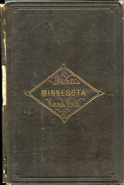
The Minnesota Handbook For 1856-7. With A New And Accurate Map
NATHAN H. PARKER
Other works by NATHAN H. PARKERPublication: John P Jewett and Company, 1857, Boston
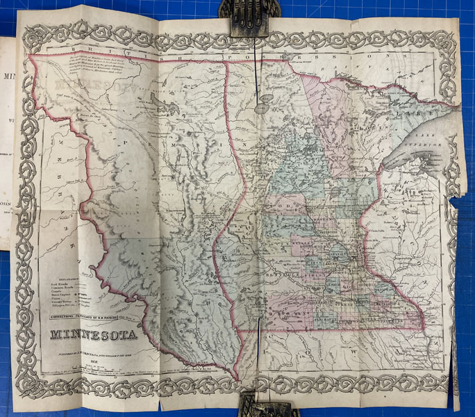
First edition. Cloth, viii, 9 - 159 [1] pp., preface, appendix. Color folding map of Minnesota by Colton is present as a (detached) frontispiece. A mid-19th-century territorial guide and promotional handbook that aimed to inform and encourage settlement in the Minnesota Territory just before it became a state. Information on geography, with an emphasis on fertile land and rich natural resources; towns and settlements and their prospects for growth; advice for emigrants, discussions of public lands, transportation routes, and a large hand-colored map by J.H. Colton, showing Minnesota Territory (extending west to areas that would later become parts of Dakota Territory) with annotated features such as forts, settlements, roads, rivers, and county outlines. Front hinge starting, wear to spine panel, map is reinforced with cellophane tape and has tears at two other fold points, and tiny inked, non-authorial gift inscription dated 1861 on the front fly leaf.
Inventory Number: 42278$175.00
Related Books

![Seven Photographs Showing The 35' Sailboat "Avalon" Before And After Being Wrecked At Its Moorage In Aberdeen, Washington Harbor MACKENZIE, COLIN S. [PHOTOGRAPHER]](/media/images/thumb/48583.jpg)
![Homes In The West. Red Cloud, Webster County. Nebraska. Red Cloud And Republican Valley, Nebraska WARNER, J. C. & J. W. WARREN [REAL ESTATE AND EMIGRATION]](/media/images/thumb/46954.jpg)

