Dealer in Rare and First-Edition Books: Western Americana; Mystery, Detective, and Espionage Fiction
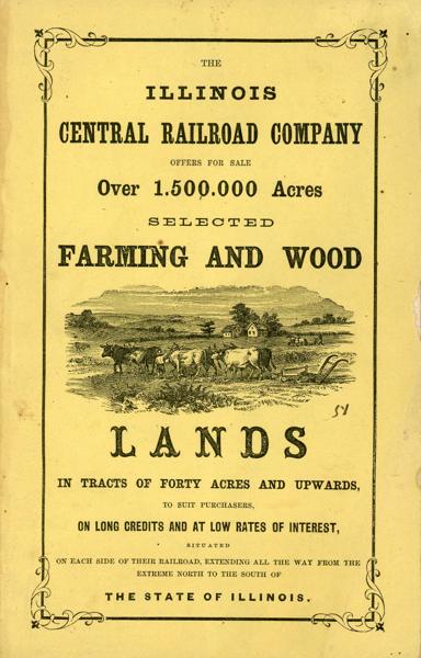
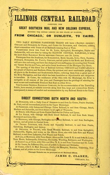
The Illinois Central Railroad Company Offers For Sale Over 1,500,000 Acres Selected Farming And Wood Lands In Tracts Of Forty Acres And Upwards, To Suit Purchases, On Long Credits And At Low Rates Of Interest, Situated On Each Side Of Their Railroad, Extending All The Way From The Extreme North To The South Of The State Of Illinois
ILLINOIS CENTRAL RAILROAD COMPANY
Other works by ILLINOIS CENTRAL RAILROAD COMPANYPublication: Illinois Central Rail Road Office, 1858, Chicago
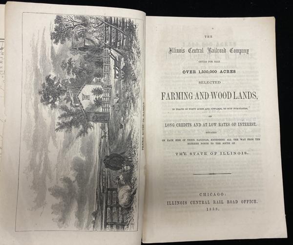
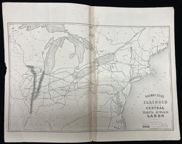
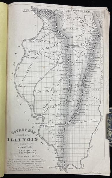
First edition. 8vo. Yellow pictorial wrappers, [5], 5 - 80 pp., full page map of Illinois, double-page map of the guide to the Illinois Central Railroad Lands, wood-engraved frontispiece. six wood-engraved illustrations in the text. The lands are situated on each side of the Railroad between Dunleith and Cairo, on the main line, and Chicago and Centralia, on the Chicago branch. Traversing the entire state from north to south, it therefore passes through a great variety of climates, and purchasers are enabled to suit their inclinations in their selections. The road passes immediately over some of the lands; others vary in distance from it from one to fifteen miles.
A little wear to the bottom corner of all pages and light wear to the fore-edges of the front cover cover and first three leaves, else a very good bright copy.
Inventory Number: 54460$800.00

![Grand Canyon, An Anthology BABBITT, BRUCE [A SELECTION OF OUTSTANDING WRITINGS COMPILED BY]](/media/images/thumb/46236.jpg)