Dealer in Rare and First-Edition Books: Western Americana; Mystery, Detective, and Espionage Fiction
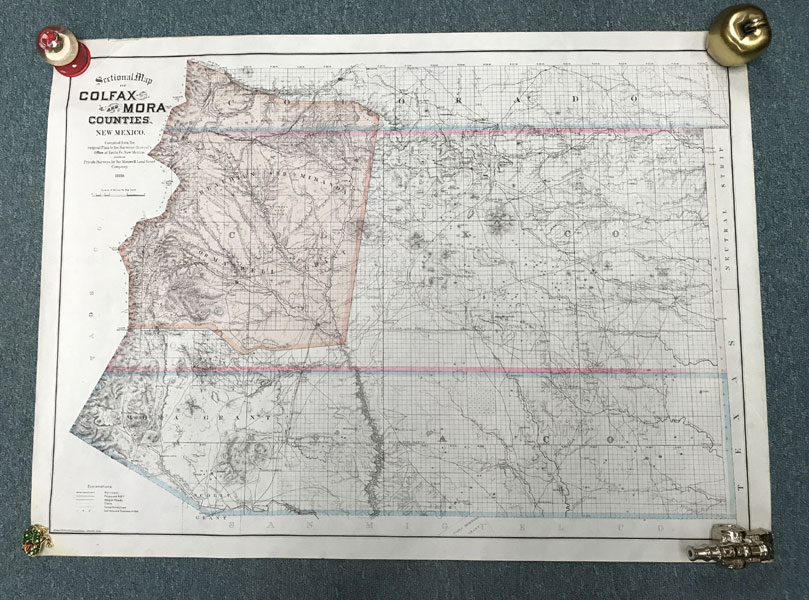
Sectional Map Of Colfax And Mora Counties, New Mexico
EDWARD ROLLANDET
Other works by EDWARD ROLLANDETPublication: Edward Rollandet, 1889, Denver
First edition. 28 3/4" x 39 1/4" colored lithographic map, printed on banknote paper. An attractive and finely-executed map of Colfax and Mora counties, in northeastern New Mexico. The famed and controversial Maxwell Land Grant is tinted brown, the counties are outlined in color, and the map extends slightly into southern Colorado (as far as the Maxwell Grant stretched). The map shows proposed and built railroad lines, wagon roads and trails, and also gives an early representation of telephone lines in this portion of New Mexico. Rivers, mountains, mines, and the location of the Maxwell beef pasture are also shown, as are dozens of towns, the U.S. Land Office at Folsom, and Fort Union. Edward Rollandet, who drew this map, was born in 1852 in Holland and served four years in the Dutch army. He came to the United States in 1873, eventually coming west and working for the Maxwell Land Company for two years. After that Rollandet moved to Colorado and went into business, eventually becoming chief draughtsman in the Surveyor General's office. Not in Phillips, MAPS, though Stephenson does locate a copy in his checklist of land ownership maps in the Library of Congress. Minor edgewear else a fine copy.
Inventory Number: 42774$750.00
![Forman Hanna, Pictorial Photographer Of The Southwest SAWYER, MARK [COMPILER & EDITOR]](/media/images/thumb/50241.jpg)