Dealer in Rare and First-Edition Books: Western Americana; Mystery, Detective, and Espionage Fiction

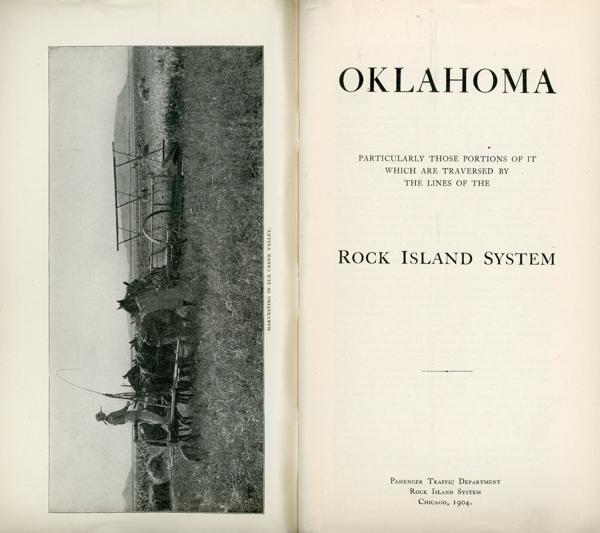
Oklahoma. Particularly Those Portions Of It Which Are Traversed By The Lines Of The Rock Island System
ROCK ISLAND SYSTEM PASSENGER TRAFFIC DEPARTMENT
Other works by ROCK ISLAND SYSTEM PASSENGER TRAFFIC DEPARTMENTPublication: Passenger Traffic Department, Rock Island System, 1904, Chicago
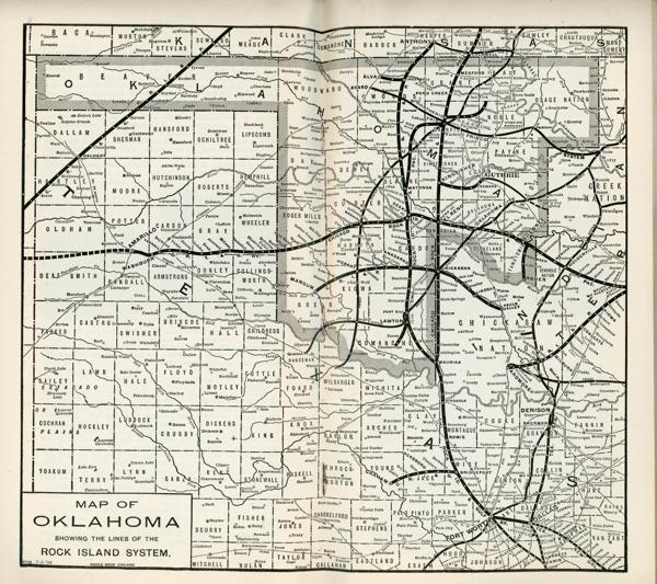
First edition. 8vo. Original color printed wrappers, 64 pp., frontispiece, illustrated from photographs, double-page map of Oklahoma at the center, advertisements. Map at the center is titled "Map of Oklahoma Showing the Lines of the Rock Island System."
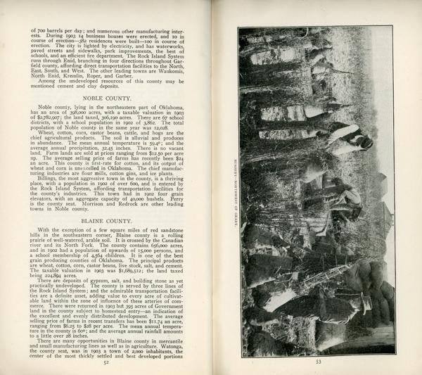
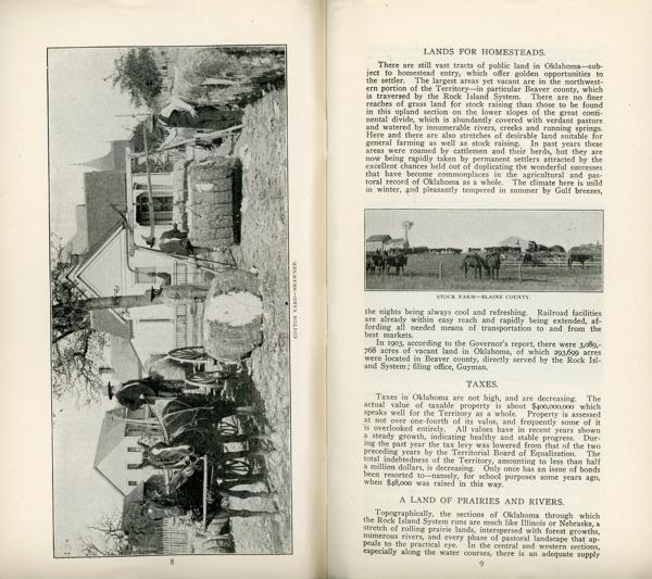
Provides a sketch of Oklahoma to set forth conditions as they are, and with possibilities of the future to encourage growth and expansion. Information is provided on opportunities for growth in agriculture, livestock raising, field crops such as wheat, sorghum, alfalfa, flax, etc., flour mills, fruit growing, banks and investments, undeveloped natural resources, schools, religion, county histories, etc. The map shows the lines of the Rock Island System.
Faint stamp of the Historical Society of Colorado stamped in three locations, light wear to the extremities, else a very good tight clean copy.
Inventory Number: 54205$375.00
![Report On The Geology Of The High Plateaus Of Utah DUTTON, C. E [CAPTAIN OF ORDNANCE, U. S. A.]](/media/images/thumb/51788.jpg)