Dealer in Rare and First-Edition Books: Western Americana; Mystery, Detective, and Espionage Fiction
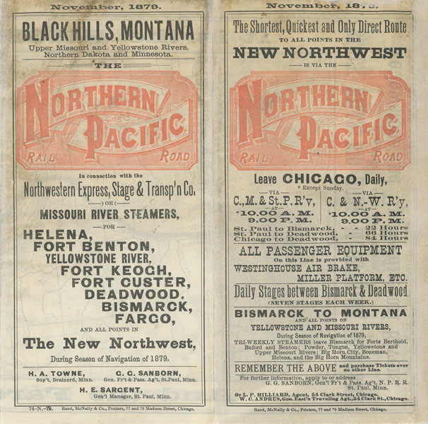
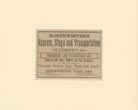
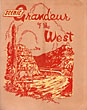
Black Hills, Montana, Upper Missouri And Yellowstone Rivers, Northern Dakota And Minnesota. The Northern Pacific Railroad In Connection With The Northwestern Express, Stage & Transportation Co., Or Missouri River Steamers For Helena, Fort Benton, Yellowstone River, Fort Keogh, Fort Custer, Deadwood, Bismarck, Fargo, And All Points In The New Northwest, During Season Of Navigation Of 1879
NORTHERN PACIFIC RAILROAD COMPANY
Other works by NORTHERN PACIFIC RAILROAD COMPANYPublication: Rand, McNally & Co, Printers, 1879, Chicago
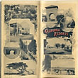
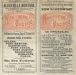
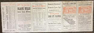
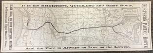
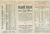
First edition. 20 1/2" x 7" that folds to six 3 1/2" panels. One side is a map of The Northern Pacific Railroad and Connections. Eastern portion of the map shows beginning points of Duluth and St. Paul showing all stops along the route ending in Portland and Tacoma. The other side consists of six panels that are promoting railroad and government lands for sale, the "Custer Route" to the Black Hills, transportation to Bismarck, Crook City, Deadwood and other points in the Black Hills, a time table, and two panels that are the front and rear covers. Together with a 5 1/2" x 4 1/4" advertisement, removed from a periodical for the "Northwestern Express, Stage and Transportation Company" passenger line via Buffalo Gap that is matted to 10" x 8" size.
Inventory Number: 49577Sold -- Contact us