Dealer in Rare and First-Edition Books: Western Americana; Mystery, Detective, and Espionage Fiction
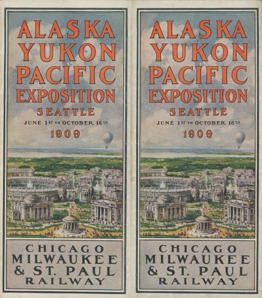
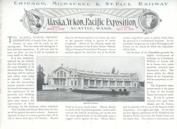
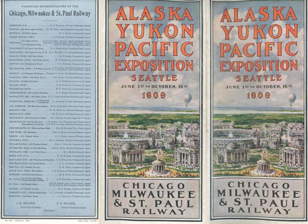
Alaska, Yukon, Pacific Exposition, Seattle, Wash. Opens June 1, 1909, Closes Pct. 16, 1909
CHICAGO, MILWAUKEE & ST. PAUL RAILWAY
Other works by CHICAGO, MILWAUKEE & ST. PAUL RAILWAYPublication: Poole Bros, 1909, Chicago
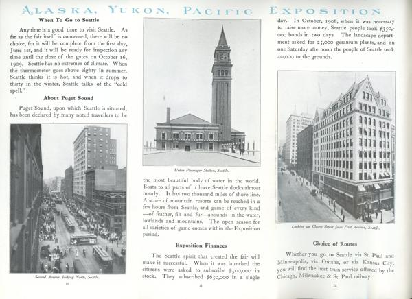
First edition. 8vo. 9" x 12" color pictorial wrappers, folds to three 9" x 4" sections, 36 pages (including covers), illustrated mostly from black & white photographs, three full-page color maps, tables.
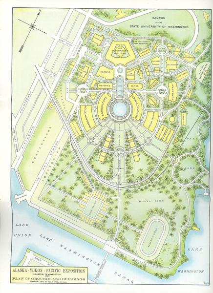
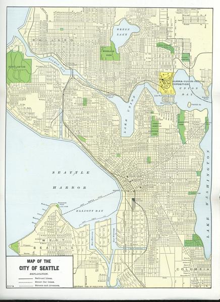
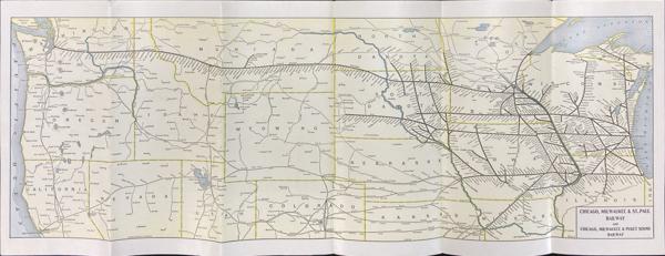
Maps include a two-page map the outlines the Chicago, Milwaukee & St. Paul Railway and Chicago, Milwaukee & Puget Sound Railway from essentially Lake Michigan to Seattle and all depots along the route. Also a one-page color map of Seattle plus a map of the Alaska-Yukon-Pacific Exposition in Seattle, Washington 1909 that provides a plan of the grounds and buildings. Much information is provided by individual states with pictures of some of their buildings and focus of their displays.
An impressive booklet with the covers lightly used in bright near fine condition.
Inventory Number: 54023$275.00
![Little Beaver Watercolor By Fred Harman HARMAN, FRED [ARTIST]](/media/images/thumb/53615.JPG)