Dealer in Rare and First-Edition Books: Western Americana; Mystery, Detective, and Espionage Fiction
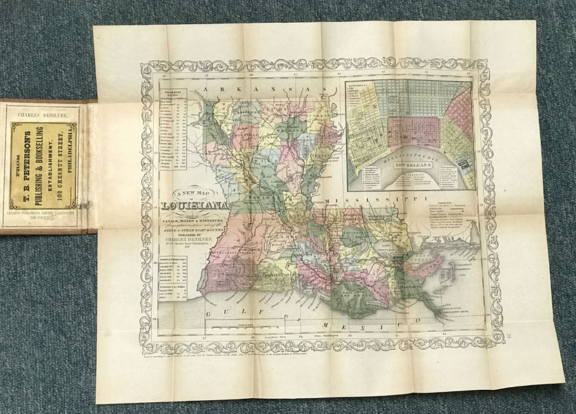
A New Map Of Louisiana With Its Canals, Roads & Distances From Place To Place, Along The Stage & Steam Boat Routes
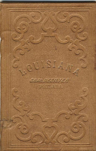
CHARLES DESILVER
Other works by CHARLES DESILVERPublication: Published by Charles Desilver, 1857, Philadelphia
First edition. 14 5/8" x 17 3/4" color map of Louisiana with a 4 1/2" x 5" color inset map of New Orleans with references to points of interest, parishes, towns, and cities in Louisiana. Also information on steam boat routes is provided. Includes distance tables of "New Orleans to Pittsburg," "New Orl. to Natchitoches" and "N. Orleans to the Balize." Top right corner offers an inset map of New Orleans. Map is in near fine condition with two tiny splits at two folds. Map is housed in a 5 1/4" x 3 3/8" embossed cloth covers with a bookseller's label affixed to the inside front cover and a small cosmetic repair to the lower spine panel. Overall a near fine copy of a beautiful map of Louisiana.
Inventory Number: 36031$1,275.00