Dealer in Rare and First-Edition Books: Western Americana; Mystery, Detective, and Espionage Fiction
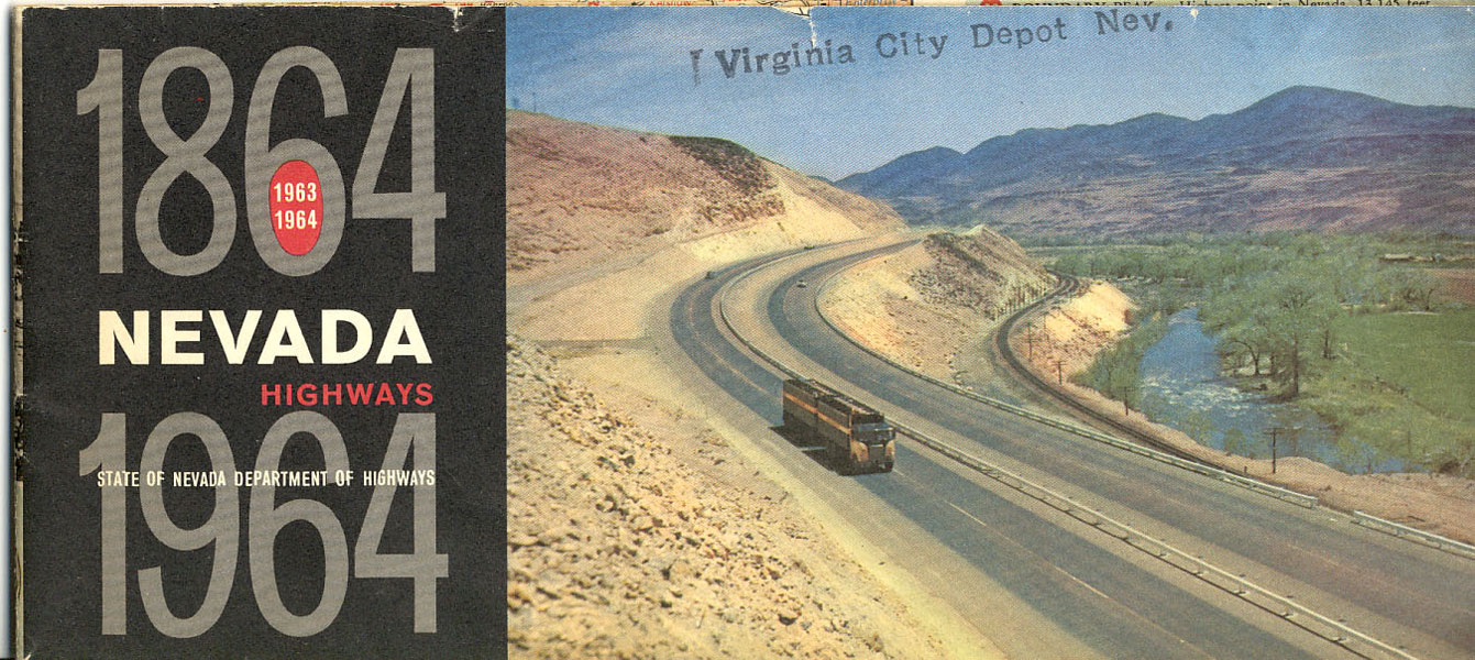
1864-1964 Nevada Highways/Nevada Highways State Of Nevada Department Of Highways 1963-64
State Of Nevada Department Highways
Other works by State Of Nevada Department HighwaysPublication: Nevada Department of Highways, 1963, Carson City
18" x 31-1/2" colorful map of Nevada entitled 1963-1964 Official Highway Map Of Nevada, includes a mileage chart, and "National Interstate and U.S. Numbered Highways Shown In Red." Inset are 3 small maps, the first is of Las Vegas, the second is of Reno and the third is of Ely & East Ely. There is another small picture entitled "Nevada Pavement Markings." List of Nevada Broadcasting Stations and an Index to Cities and Towns. Included is a picture of Governor Grant Sawyer welcoming tourists to Nevada and inviting them back in 1964 when they will celebrate their Centennial. On the reverse side of the map are several color photographs. Also included are some tips to visitors to Nevada concerning traffic laws, speed limits, school buses et. al. Nevada offers a wide variety of wonderful vacation possibilities to include its famous hotels, superb food, accommodations, huge casinos, resort centers, lakes and mountains, remote ghost towns, et.al. With its endless supply of warm and sunny skies, Nevada invites you for the vacation of your life. Travel agency stamp to front wrapper and light chipping to top edge of front panel, light tanning to 3 panels else a good copy.
Inventory Number: 36225


