Dealer in Rare and First-Edition Books: Western Americana; Mystery, Detective, and Espionage Fiction
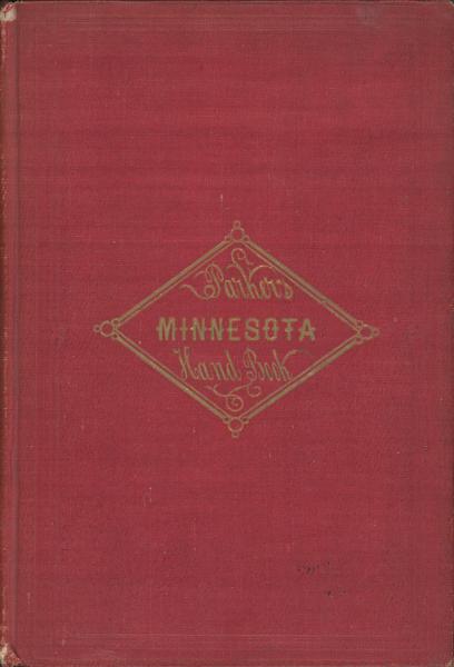
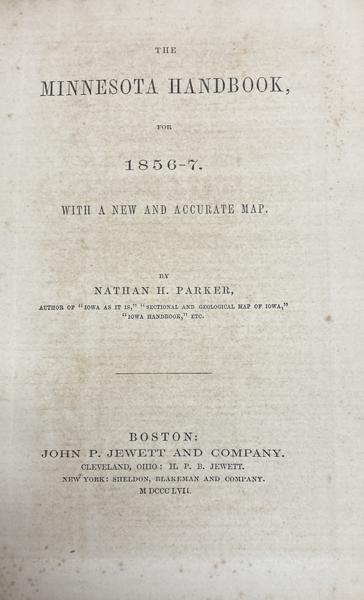
The Minnesota Handbook For 1856-7. With A New And Accurate Map
NATHAN H. PARKER
Other works by NATHAN H. PARKERPublication: John P Jewett and Company, 1857, Boston
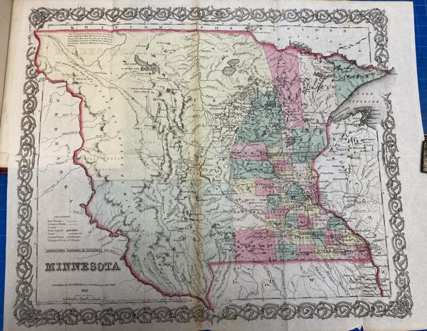
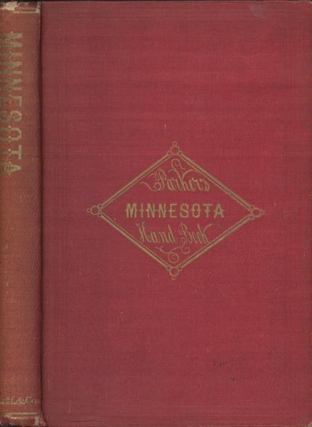
First edition. Red cloth, titles in gilt on the front cover and spine, viii, 9 - 159 [1] pp., preface, appendix. Color folding map of Minnesota by Colton is present and is nicely hand-colored and in fine condition. A mid-19th-century territorial guide and promotional handbook that aimed to inform and encourage settlement in the Minnesota Territory just before it became a state. Information on geography, with an emphasis on fertile land and rich natural resources; towns and settlements and their prospects for growth; advice for emigrants, discussions of public lands, transportation routes, and a large hand-colored map by J.H. Colton, showing Minnesota Territory (extending west to areas that would later become parts of Dakota Territory) with annotated features such as forts, settlements, roads, rivers, and county outlines. Light wear to the spine ends and corners else a very good tight clean copy.
Inventory Number: 54254$375.00
Related Books