Dealer in Rare and First-Edition Books: Western Americana; Mystery, Detective, and Espionage Fiction
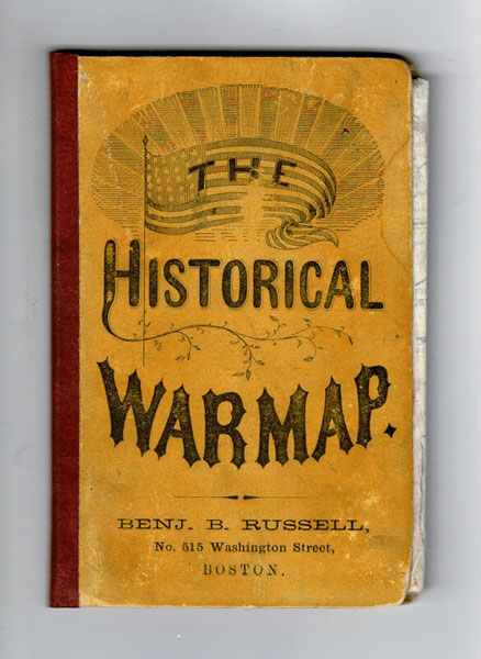
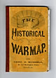
The Historical War Map
ASHER & CO
Other works by ASHER & COPublication: Benj B Russell, 1862, Boston
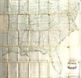
5" x 3 1/2" yellow pictorial boards housing a 24 1/2" x 26 1/4" hand-colored in outline map as well as [3]-24 pp. offering the record of the rebellion, including 4 full-page maps (Battle of Bull Run, Fort Donelson, Shiloh Battleground, and Richmond Va. and Vicinity). The map is essentially the southeastern quadrant of the United States, showing from Pennsylvania west to Iowa and Missouri, south to Louisiana, and east to Florida with small red circles denoting sites of battles and skirmishes. Tables at the lower left give dates of admission and succession of the southern states, the slave population of the southern states; free states and territories, rebel states, and the white male populations of both free and rebel states. Several neat, professional mends on the verso at a number of the folds, light spotting as well as the whole neatly rebacked. Very good.
Inventory Number: 48231Sold -- Contact us