Dealer in Rare and First-Edition Books: Western Americana; Mystery, Detective, and Espionage Fiction
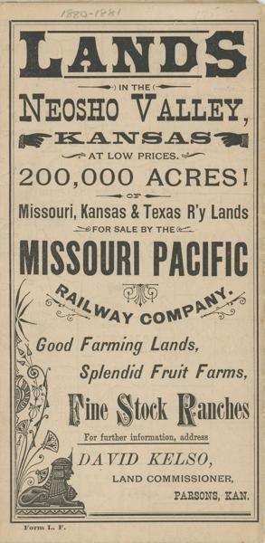
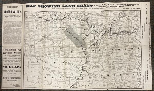
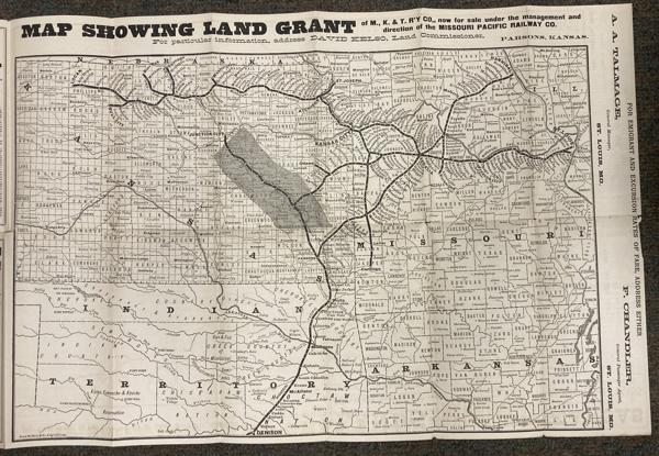
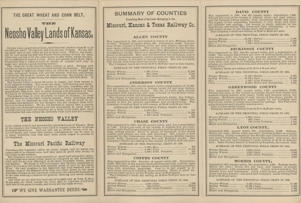
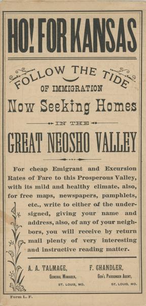
Lands In The Neosho Valley, Kansas At Low Prices. 200,000 Acres Of Missouri, Kansas & Texas R'Y Lands For Sale By The Missouri Pacific Railway Company. Good Farming Lands, Splendid Fruit Farms, Fine Stock Ranches. Ho! For Kansas. Follow The Tide Of Immigration Now Seeking Homes In The Great Neosho Valley
MISSOURI PACIFIC RAILWAY COMPANY
Other works by MISSOURI PACIFIC RAILWAY COMPANYPublication: Privately printed for the Missouri Pacific Railway Company, n d (1880), N P St Louis
First edition. 15" x 26" one sheet, folds to fourteen 7 1/2" x 3 5/8" panels
Side One : Fourteen panels that provide information on the lands, towns, population, a list of unsold lands owned by the railway company, etc. Also information on terms of sale, the price of excursion tickets, a list of agents empowered to show and sell available lands, etc.
Side Two : A large map 15" x 22" prepared by Rand, McNally & Company shows. Missouri, Kansas, Indian Territory, and Arkansas. The map shows the land grant of the M., K. & T. R'Y CO., now for sale under the management and direction of the Missouri Pacific Railway Company. Also shown are routes of the railway beginning in both St. Louis and Hannibal and progressing westward and south to towns along the route.
Minor wear to a few fold points and covers lightly used, else a very good copy.
Inventory Number: 54532$1,275.00
Related Books
![Albumen Photograph Of Granite, Montana Parade HOWER, ATLIN B. [PHOTOGRAPHER]](/media/images/thumb/50036.jpg)