Dealer in Rare and First-Edition Books: Western Americana; Mystery, Detective, and Espionage Fiction

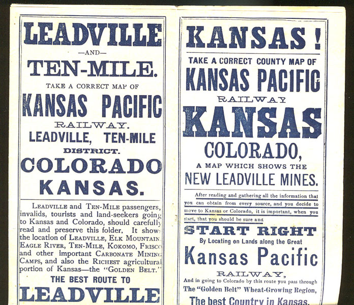
Kansas! Take A Correct County Map Of Kansas Pacific Railway Kansas (&) Colorado, A Map Which Shows The New Leadville Mines
Kansas Pacific Railway
Other works by Kansas Pacific RailwayPublication: Ramsey, Millett & Hudson, Railroad Printers, Engravers, Etc 1897, Kansas City, 1879
Kansas City: Ramsey, Millett & Hudson, Railroad Printers, Engravers, Etc. 1897. First edition. 16mo. 10 1/2" x 26" sheet printed in Navy blue that opens to a "Geographically correct map of Kansas & Colorado, showing principal cities and towns, including the famous health & pleasure resorts of the Rocky Mountains, reached by the Kansas Pacific Railway, the 'Golden Belt Route." Folded to 6 3/4" x 3 1/2" and backed with twelve panels of promotional text about lands, corn, grand tours, mining camps, schedules, illustrations, etc. Promotes wheat and corn farming in Kansas, tours to Colorado health and pleasure resorts, relocating to Kansas or Colorado, Leadville and Ten-Mile carbonate mining camps, and many reminders that the Kansas Pacific Railway is the very best line for reaching the area. Very light wear to a few fold points, but still an attractive, clean and informative brochure in near fine condition. See Buckingham Books inventory #32806 for comparison.
Inventory Number: 32801Sold -- Contact us
![The Outlaws. PRONZINI, BILL & MARTIN H. GREENBERG [EDITED BY].](/media/images/thumb/10395.jpg)
![Cartridge & Firearms Historical Album RITTENHOUSE, JACK D. [EDITOR]](/media/images/thumb/40265.jpg)


