Dealer in Rare and First-Edition Books: Western Americana; Mystery, Detective, and Espionage Fiction
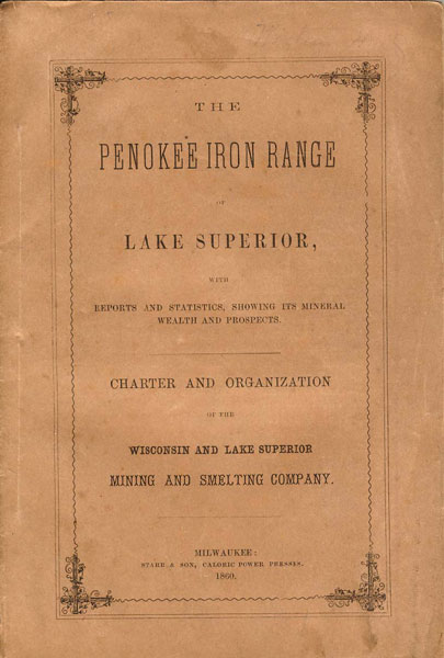
The Penokee Iron Range, Of Lake Superior With Reports And Statistics, Showing Its Mineral Wealth And Prospects. Charter And Organization Of The Wisconsin And Lake Superior Mining And Smelting Company
WISCONSIN AND LAKE SUPERIOR MINING AND SMELTING COMPANY
Other works by WISCONSIN AND LAKE SUPERIOR MINING AND SMELTING COMPANYPublication: Starr & Son, Caloric Power Presses, 1860, Milwaukee
First edition. Signed by J. B. D. Cogswell one of the company's officers and director. 8" x 5 1/2" printed wrappers, 56 pp., 4 panel folded map affixed to the rear. The map is of the Penokee Iron Range, near Lake Superior, Wisconsin, by I. A. Lapham. In addition to be able to work any mines of iron or other ores and minerals that may exist on any lands the company may own or acquire, they want a terminus constructed at Ashland to get the iron ores to ships on Lake Superior. Light wear to the spine ends, all page edges uniformly tanned, else a very good, clean copy.
Inventory Number: 35542Sold -- Contact us

![The Constitution Of Occidente. The First Constitution Of Arizona, Sonora, And Sinaloa [1825-1831]. FAULK, ODIE B. [TRANSLATED AND EDITED B](/media/images/thumb/44965.jpg)