Dealer in Rare and First-Edition Books: Western Americana; Mystery, Detective, and Espionage Fiction
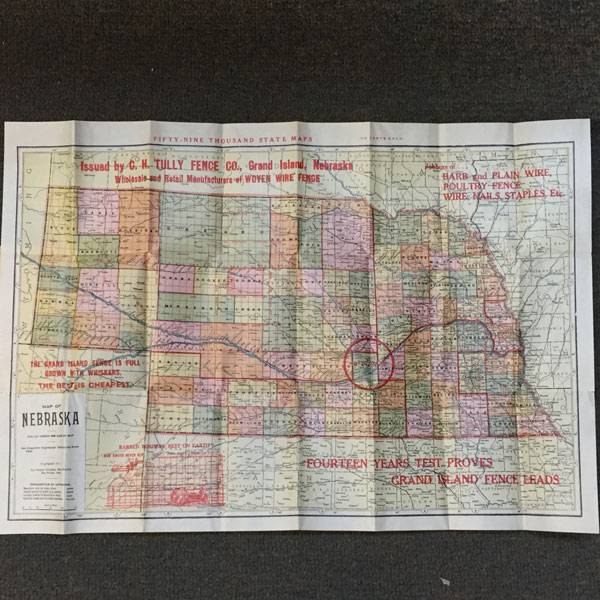
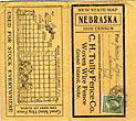
New State Map. Nebraska. 1910 Census
C.H. Tully Fence Co., Grand Island, Nebraska
Other works by C.H. Tully Fence Co., Grand Island, NebraskaPublication: The Kenyon Company, Map Makers, 1911, Des Moines
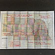
13" x 20" sheet folded to 48 panels and housed in over-sized 5 1/2 " covers, meant to be mailed. Front cover is addressed to a James Logan of Dansbury, Nebraska and stamped with a l-cent stamp. Rear cover offers an illustration of the Grand Island Hog Fence with various heights available. Sheet opens to 24 panels offer a bright, colorful map of Nebraska with red lines showing the Congressional districts and townships. Inset is a chart with an explanation of lettering on the map ... hamlets are in italics, small towns are in gothic, larger towns are in black face, and county seats are in light capitals. Stamped in red ink at top, bottom and side of map, though not impacting the state of Nebraska, are hypes for the Grand Island Fence. Opposite 24 panels offer the population of all incorporated towns in Nebraska per the 1910 census. 2 tiny splits to 2 folds and with a small split to edge at one fold. Over-sized covers are lightly soiled and with light wear to spine and extremities. Very good.
Inventory Number: 40888Sold -- Contact us
Related Books