Dealer in Rare and First-Edition Books: Western Americana; Mystery, Detective, and Espionage Fiction
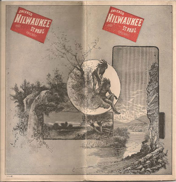
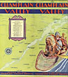
Chicago, Milwaukee And St. Paul Railway Time Tables, 1-1-1887
MILWAUKEE AND ST. PAUL RAILWAY CHICAGO
Other works by MILWAUKEE AND ST. PAUL RAILWAY CHICAGOPublication: Rand, McNally & Co, Map Publishers and Engravers, 1887, Chicago
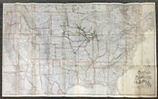
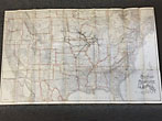
24" x 38 1/2" sheet, one side opens to a map of the United States and the other side contains 30 panels, illustrated with pictorial engravings. The United States map is outlined in light pink with good detail of the states and shows the route of the Chicago, Milwaukee & St. Paul Railway and connections, plus Indian Territory and the public lands in north Texas. The other side contains 30 panels of time tables and information about various cities and towns with nice engraved illustrations. Covers lightly soiled, minor wear to the bottom edges, a few small holes at fold creases, but a solid, very good copy.
Inventory Number: 40496Sold -- Contact us
![July '79. St. Louis And San Francisco Railway. The Only Direct Line From St. Louis To Peirce City, Granby, Niosho, Vinita, Carthage, Webb City, Columbus, Oswego, And Joplin. Express Trains Daily To And From Union Depot Saint Louis WISHART, D. [GEN'L PASS AG'T.]](/media/images/thumb/34568.jpg)